Luanda on the eve of independence and through the long civil war that follows. A frightened Portuguese woman bricks up her apartment in a grand central building and lives walled in for nearly thirty years, growing food on the terrace while the city churns below. The map holds the old downtown, the bayfront Marginal, the water of the bay and the musseques that ring the city.
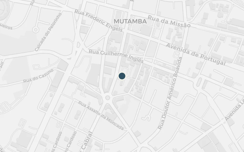
On the eve of independence the narrator, a fearful Portuguese woman, seals the entrance to her top-floor apartment with a wall of bricks and stays shut in for close to thirty years. The building sits in the smart heart of colonial Luanda, the kind of address left half-empty as settlers fled in 1975.
Opening chapters
inspired byThe Prédio dos Invejados is an invented name and the building is not a real named address; Agualusa sets it in an elegant apartment block in central Luanda, so this marks a representative point in the Ingombota downtown where such a building would stand.
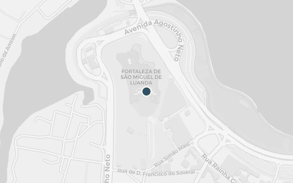
Below the sealed apartment the colonial downtown empties and then fills again: departures in the last days of Portuguese rule, then a new republic, coups, shortages and the long war. The old town, crowned by the sixteenth-century fortress above the bay, is the ground the whole story turns on.
Throughout
explicitCentral Luanda is the book's anchor; this marks the historic core around the Fortress of São Miguel, whose coordinates are documented.
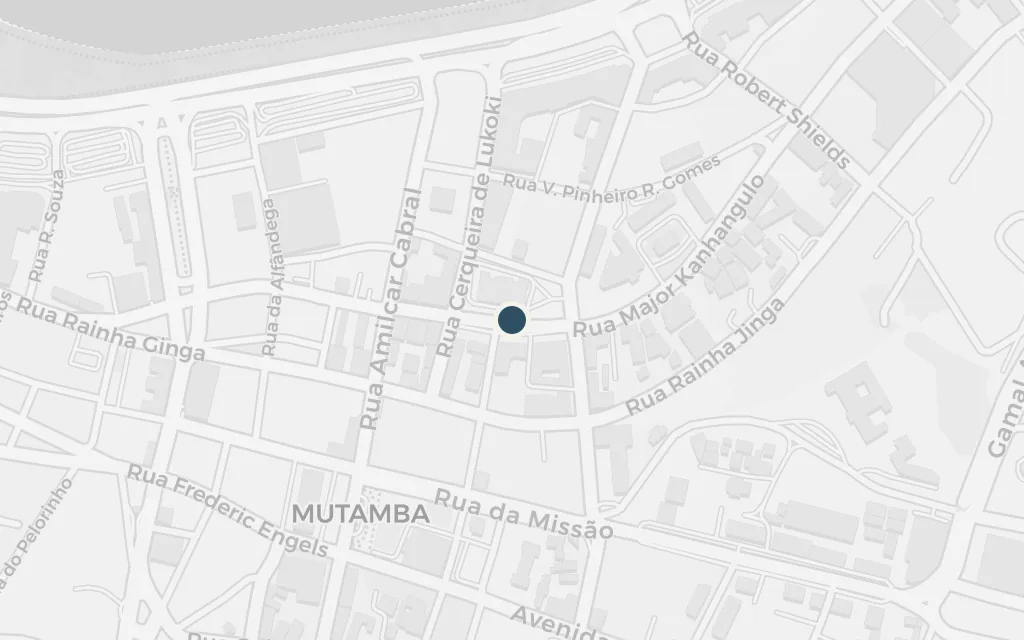
The palm-lined avenue curving along the bay is where colonial Luanda showed itself off and where the post-independence city paraded its own hopes and hungers. Lives that brush against the walled-in woman's own play out along this seafront over the decades she stays hidden.
Throughout
explicitThe bayfront avenue, Avenida 4 de Fevereiro, is a real named road along Luanda Bay; this marks a representative point on its promenade.
The sheltered bay, held in the long arm of the Ilha, frames the city the recluse can only glimpse. Ships come and go with the changing fortunes of the war, and the water is the constant backdrop to the shifting Luanda that surrounds her hiding place.
Throughout
explicitLuanda Bay is a named body of water in front of the city, with documented coordinates.
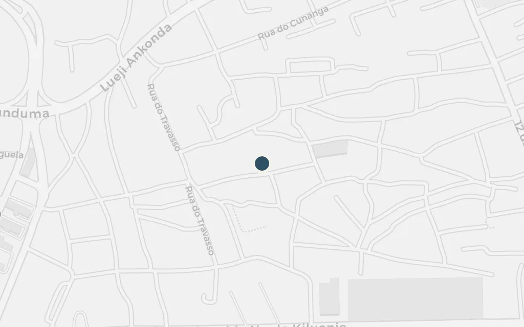
Beyond the concrete downtown spread the musseques, the crowded shantytowns on Luanda's red earth where much of the city's real life and its politics unfolded. Characters whose paths cross the hidden woman's, from street children to fighters, move through these districts across the years of upheaval.
Throughout
explicitThe musseques are the real sand-soil shantytowns ringing Luanda; this marks Sambizanga, a well-known one just north of the centre, whose coordinates are documented.