The London of Atonement

A country house in the Surrey heat of 1935, where a girl's misreading of one scene wrecks three lives, then the war that follows it: a soldier's long walk to the beaches of Dunkirk, and the London wards where the two sisters nurse the wounded. The map anchors on southern England, from the Surrey estate to wartime Lambeth and Balham, and reaches across the Channel to the French coast of the retreat.

Author
Ian McEwan, 2001
Places
5

Open the interactive map →Visit London on Wikivoyage ↗

Part One0% in
Briony Tallis

The Tallis house, Surrey

Part One
Map of The Tallis house, Surrey today
London today

On a hot day in 1935 the whole first movement unfolds at a wealthy family's country house and its grounds, where a thirteen-year-old watches a scene by the fountain, and later another in the dark, and reads both wrongly. Her false accusation sends her sister's lover to prison and severs the family. McEwan sites the estate in Surrey without naming a town, so the pin stands for that lost English house rather than a surviving address.

Part One

inspired byThe house is invented and never given a real address; the novel only places the estate in the Surrey countryside, so this marks a representative point in rural Surrey south-west of Guildford. The 2007 film used Stokesay Court in Shropshire, which is a screen substitute rather than the book's location.
Open in Google Maps ↗Street View ↗

Part Two25% in
Briony Tallis

The beach at Dunkirk

Part Two

Map of The beach at Dunkirk today
London today

The second movement follows the imprisoned lover, now a soldier, through the 1940 retreat across northern France to the coast. Wounded and feverish, he reaches the crowded sand where an army waits under air attack to be lifted home. Dunkirk is the real terminus of that walk, and the beaches east of the harbour held tens of thousands of men through the evacuation.

Part Two

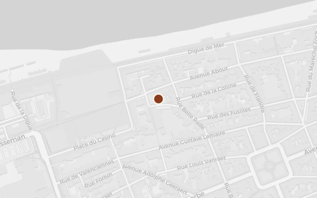
explicitThe novel names Dunkirk directly; this marks the evacuation beach at Malo-les-Bains, on the eastern edge of the town, one of the strands used in Operation Dynamo in 1940. It sits in France, so it is flagged as an excursion beyond the book's English setting.

Open in Google Maps ↗Street View ↗

Part Three50% in
Briony Tallis

St Thomas's Hospital, Lambeth

Part Three

Map of St Thomas's Hospital, Lambeth today
London today

By 1940 the girl who made the accusation has become a trainee nurse in London, doing hard ward work as a private penance. When casualties from France arrive, she scrubs, dresses wounds and sits with the dying. The riverside hospital in Lambeth grounds this section, its wards filling as the war reaches the city.

Part Three

explicitThe novel names St Thomas's; the coordinates mark the hospital on the Lambeth bank of the Thames, opposite the Houses of Parliament.

Open in Google Maps ↗Street View ↗

Briony Tallis

Cecilia's lodgings, Balham

Part Three

Map of Cecilia's lodgings, Balham today
London today

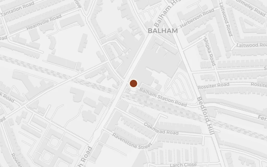
Estranged from her family, the elder sister has taken lodgings in a south London suburb, where the reunited couple face the sister who wronged them. The scene turns on an attempt to set the record straight and undo the accusation, staged in a cramped rented flat in Balham.

Part Three

explicitThe novel places the elder sister's rented rooms in Balham; no exact street is fixed in the book, so this marks the centre of the south London district.

Open in Google Maps ↗Street View ↗

London, 1999100% in
Briony Tallis

Imperial War Museum, London

London, 1999

Map of Imperial War Museum, London today
London today

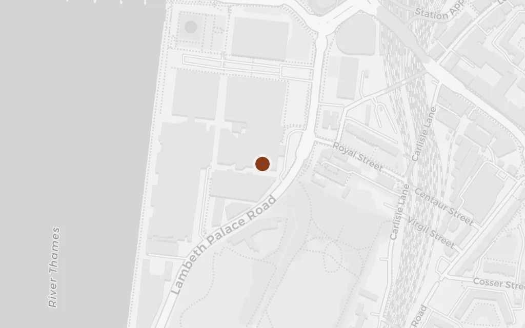
The present-day coda belongs to the accuser grown old, a successful novelist looking back on the story she has spent a lifetime writing and rewriting. She has done her research among the war archives, and the last pages weigh how much a writer may reshape the past to grant the ending life denied. The museum's reading rooms in Lambeth anchor that reckoning.

London, 1999

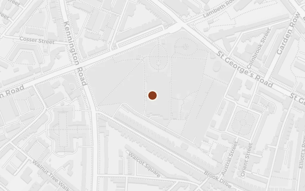
explicitThe closing section names the Imperial War Museum, where the now-elderly narrator has researched the war chapters; the coordinates mark the museum on Lambeth Road.

Open in Google Maps ↗Street View ↗