The Sierra de Guadarrama of For Whom the Bell Tolls

Over four days of the Spanish Civil War, an American demolitions expert joins a band of guerrillas hidden in the pine forests of the Sierra de Guadarrama to blow a bridge behind fascist lines ahead of a Republican offensive.

Author
Ernest Hemingway, 1940
Places
5

Open the interactive map →

The camp0% in
Pablo

The guerrilla camp in the pines

The camp
Map of The guerrilla camp in the pines today
Sierra de Guadarrama today

Robert Jordan climbs to a band led by the reluctant Pablo and the fierce Pilar, hidden in the pines above the bridge. The cave is the novel's fixed point, where its arguments over courage, betrayal and love play out between raids.

Chapters 1–3

inferredThe camp is a hidden cave and clearing in the pine forests of the Guadarrama; the range is explicit but no exact spot is given, so this pin sits in the real high pinewoods behind the fascist-held side of the range.
Open in Google Maps ↗Street View ↗

The bridge25% in
Robert Jordan

The bridge over the gorge

The bridge

Map of The bridge over the gorge today
Sierra de Guadarrama today

The whole story bends toward this steel bridge over a gorge, which Jordan is ordered to blow to stop fascist reinforcements. The mission is doomed from the moment the plan is overtaken by events, and the bridge becomes the measure of every character's nerve and loyalty.

Chapters 4–43

inspired byThe bridge Jordan must destroy is invented, but the novel places it on a mountain road in the Guadarrama near the Republican offensive; sited on the real range close to the passes above Segovia, an inspired-by location rather than a named one.

Open in Google Maps ↗Street View ↗

The offensive50% in
Robert Jordan

The Republican lines at the passes

The offensive

Map of The Republican lines at the passes today
Sierra de Guadarrama today

Beyond the trees lie the Republican lines whose attack the bridge job is meant to serve. When Jordan learns the fascists already know the offensive is coming, the front's futility hangs over everything: the sacrifice will buy an assault that cannot succeed.

Chapters 35–43

inferredThe offensive Jordan's mission supports comes over the Guadarrama passes held by the Republic; the text names no single point, so this pin marks the real Puerto de Navacerrada area where the front ran through the range.

Open in Google Maps ↗Street View ↗

Behind the lines75% in
Pilar

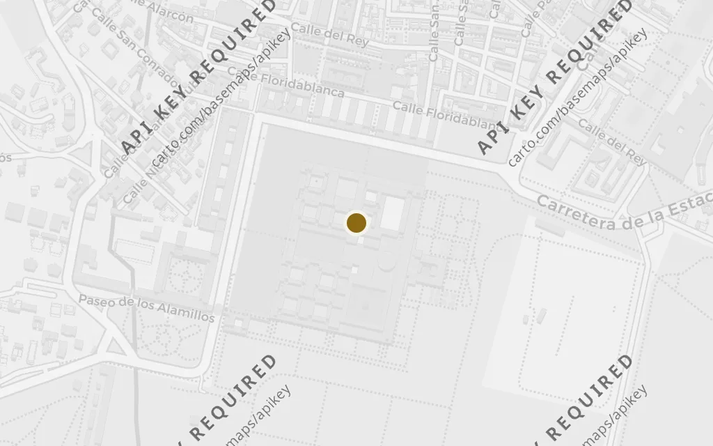
El Escorial

Behind the lines

Map of El Escorial today
Sierra de Guadarrama today

El Escorial anchors the world below the mountains, the road-and-town country the fighting is meant to control. Naming it fixes the guerrillas' hidden campaign to a real, recognisable stretch of Castile rather than an abstract frontline.

Chapters 1–43

explicitEl Escorial is named as a landmark below the range; pinned on the real town and monastery of San Lorenzo de El Escorial at the southern foot of the Guadarrama.

Open in Google Maps ↗Street View ↗

The objective100% in
María

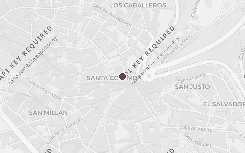
Segovia

The objective

Map of Segovia today
Sierra de Guadarrama today

Segovia lies beyond the range in fascist hands, the source of the troops the blown bridge is meant to delay. It also names María's ordeal: it is from around here that Pilar's band rescued her, giving the mission its private stakes as well as its military ones.

Chapters 1–43

explicitSegovia is named as the city the fascist reinforcements would come from; pinned on the real city north of the Guadarrama that the bridge road serves.

Open in Google Maps ↗Street View ↗