The Chalatenango of One Day of Life

The rural north of El Salvador on the eve of the civil war, seen across a single day from a peasant farming family in the hills of Chalatenango. The map runs from the dirt roads and cornfields of a poor hamlet out to the departmental town, and up into the highland country toward the Honduran border where the National Guard, the army and the first guerrillas collide.

Author
Manlio Argueta, 1980
Places
5

Open the interactive map →

Dawn0% in
Lupe

The farming hamlet

Dawn
Map of The farming hamlet today
Chalatenango today

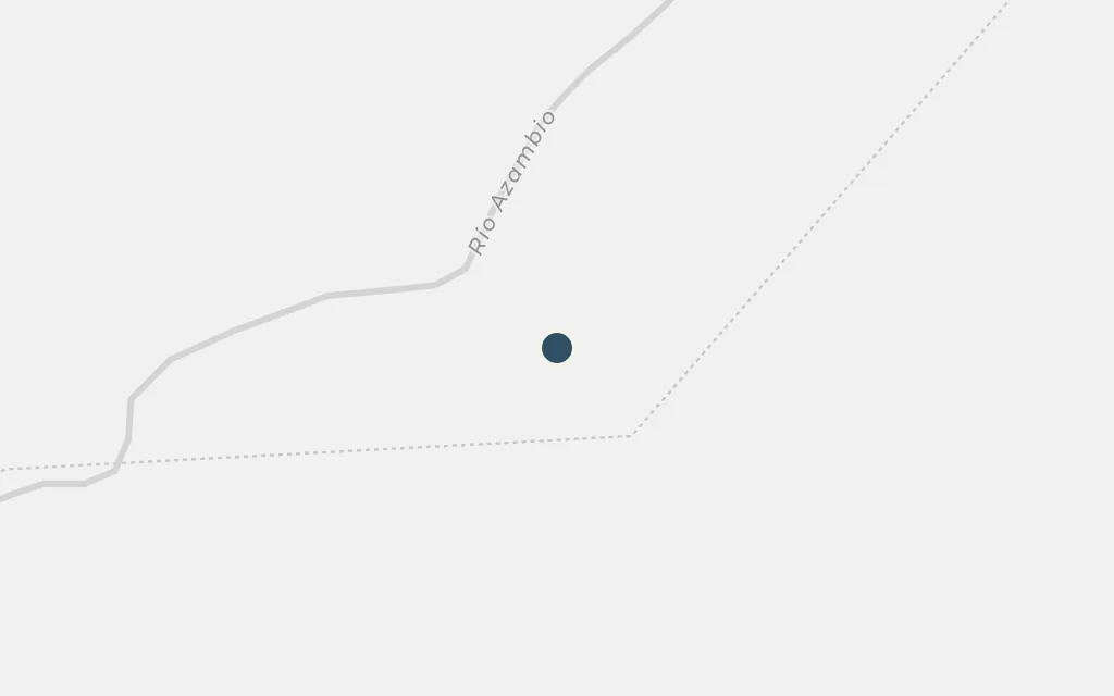
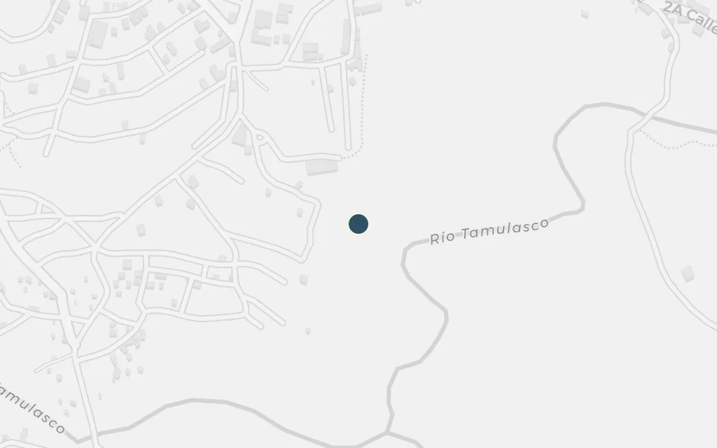
The day begins before light in a cluster of dirt-floored houses among the cornfields, where an elderly peasant woman starts her chores and waits on news of the men. The hamlet is Argueta's invention, but its poverty, its maize plots and its footpaths belong to the real subsistence country of northern Chalatenango.

Opening, morning

inferredThe novel's hamlet is a composite of the poor farming settlements of Chalatenango and is not a named, findable place; this marks a representative point in the rural hills north of Chalatenango town.

Open in Google Maps ↗Street View ↗

Morning25% in
Lupe

The village store and chapel

Morning

Map of The village store and chapel today
Chalatenango today

The small general store and the modest chapel are the hamlet's shared ground, where neighbours gather, gossip carries and a lay catechist has been teaching people to read the Bible and question their conditions. Argueta ties this church work to the base communities that spread through the Salvadoran countryside in the 1970s and drew the suspicion of the security forces.

Morning

inferredThe little store and the chapel are fictional fixtures of the invented hamlet; sited beside the hamlet point, they stand for the kind of general store and rural chapel found across the department.

Open in Google Maps ↗Street View ↗

Midday50% in
Lupe

Chalatenango, the departmental town

Midday

Map of Chalatenango, the departmental town today
Chalatenango today

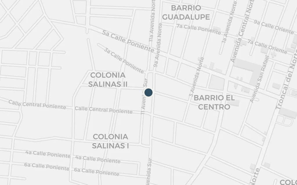
The road out of the hills leads to Chalatenango, the departmental capital and the seat of its authority, with its market, its offices and its National Guard post. For the family it is where officialdom lives and where a summons or an errand can turn dangerous, the town against which the hamlet measures its distance and its fear.

Midday

explicitChalatenango town is a real place and the seat of the department the novel names; this marks the town centre.

Open in Google Maps ↗Street View ↗

Afternoon75% in
Lupe

Highland country toward the Honduran border

Afternoon

Map of Highland country toward the Honduran border today
Chalatenango today

Northward the land rises into cool pine highlands near the Honduran frontier, the broken country where army patrols hunted suspected guerrillas and, within a couple of years of the novel, would drive whole villages toward the border. La Palma anchors this upland zone; the wider region became one of the hardest-fought fronts of the war that followed.

Afternoon

explicitLa Palma is a real mountain town in northern Chalatenango, near the frontier zone the novel evokes; this marks the town, standing in for the surrounding highland border country.

Open in Google Maps ↗Street View ↗

Dusk100% in
Lupe

Aguilares on the road south

Dusk

Map of Aguilares on the road south today
Chalatenango today

Below the Chalatenango hills, on the northern highway, Aguilares was a real focus of the repression the novel dramatises: a district of church-led peasant organising where the army occupied the town and where the priest Rutilio Grande was assassinated in 1977. It marks how the terror in the fictional hamlet mirrors documented events in the surrounding country.

Dusk

explicitAguilares is a real town just south of the department on the northern highway; a documented centre of church organising and army repression in the 1970s, it grounds the political violence the novel treats.

Open in Google Maps ↗Street View ↗