The banana zone of Honduras's Caribbean lowlands in the 1930s, where the fruit companies ran the Sula valley as a private domain. The map follows the campeños from the endless plantation rows and company camps around El Progreso, along the Ulúa river, out to the industrial city of San Pedro Sula and the export port of Tela.
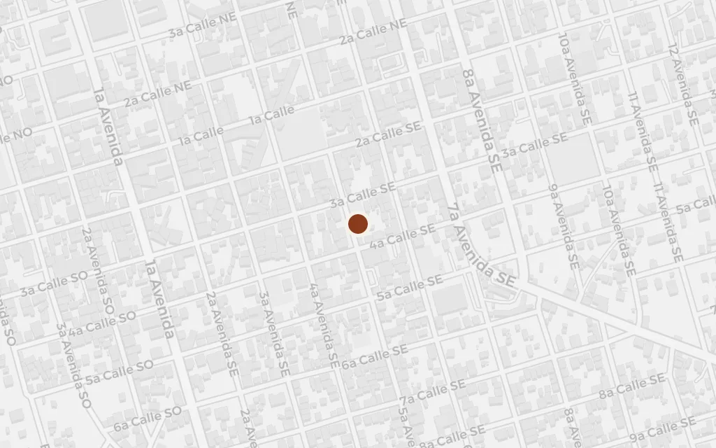
El Progreso stands at the centre of the banana country the book maps: a town organised around the fruit company, its commissary and its camps, where a small landowner is drawn off his own plot and into wage labour on the plantations. In the 1930s the town lived on the banana trade and the company that controlled it.
Part One
explicitEl Progreso, on the Ulúa in the Sula valley, is the real town at the heart of the banana zone the novel describes; the specific commissary and camp buildings are not identifiable today, so this marks the town centre.
The title's green prison is the plantation itself: rows of banana that run to the horizon, worked in company camps under overseers, in mud and heat and debt. The book turns the fincas of the Sula valley into a landscape of confinement, where workers are bound to the fruit and the firm that owns it.
Part One
inferredThe novel's plantation camps are drawn from the real fincas that blanketed the Sula valley around El Progreso; no single camp is named or locatable, so this marks a representative point in the valley's plantation belt west of the town.
The Ulúa is the artery of the banana zone, watering the fincas and threading past the company towns before it reaches the coast. In the novel the river marks the valley the workers cannot leave, the same water that floods the plantations and carries the fruit toward the sea.
Part Two
explicitThe Ulúa is the real river of the Sula valley, running past El Progreso; the exact bank in any scene is not fixed, so this marks a point on the river between El Progreso and San Pedro Sula.
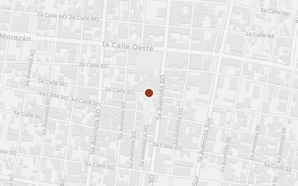
San Pedro Sula is the city the valley feeds: the commercial capital of the north coast, where the money of the banana trade gathers and where the workers' grievances harden toward organisation. It stands at the western edge of the plantation country as its urban counterweight.
Part Two
explicitSan Pedro Sula is the real commercial city of the Sula valley, west of El Progreso, and the regional hub the novel's world revolves around; this marks the city centre.
Tela is where the plantations meet the sea: a company port on the Caribbean from which the fruit was shipped north, and the local seat of the United Fruit subsidiary that governed the zone. It closes the circuit the novel traces, from the workers in the rows to the boats that carry the harvest away.
Part Three
explicitTela is the real Caribbean port that served as headquarters of the Tela Railroad Company, the United Fruit subsidiary that ran much of this banana zone; this marks the coastal town.