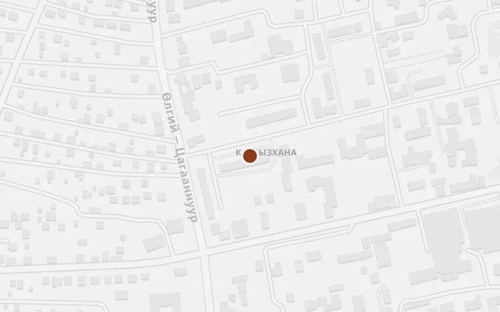
The high Mongolian Altai of Bayan-Ölgii province, near the provincial centre Ölgii, where a Tuvan herding family follows its flocks between summer and winter pastures. A boy grows up among the yurt, the grandmother, the dog and the animals as the old nomadic world starts to give way under the socialist state. The map runs west from Ölgii through the Tuvan district of Tsengel to the glaciated peaks of Tavan Bogd on the Russian and Chinese frontier.
The reach of the distant state runs through the provincial capital of Bayan-Ölgii in Mongolia's far west. It is from centres like this that the schooling, collectivisation and new rules of the socialist era press outward onto the herding families of the surrounding Altai, the change that shadows the boy's childhood.
Setting: Bayan-Ölgii province
explicitÖlgii is a real, named town, the administrative seat of Bayan-Ölgii province; this marks the town centre.
The book grows out of the world of the Tsengel Tuvans, a small Tuvan-speaking herding people in a province that is mostly Kazakh. Galsan Tschinag belongs to this community, and the boy's family, faith and animals are drawn from it. The district anchors the real homeland behind the story.
Setting: the author's Tuvan homeland
explicitTsengel is a real sum (district) of Bayan-Ölgii and the home of the Tsengel Tuvans; the author comes from this Tuvan community. This marks the district centre, not a specific camp.
In the warm months the herds climb to the cool grass high in the mountains, and much of the boy's life unfolds there among the flocks, the yurt and his grandmother. The exact camps move with the seasons and are the author's real homeland rather than a fixed dot, so this sits on the slopes of the sacred peak Tsengel Khairkhan as a representative point in that terrain.
The summer camp in the high mountains
inspired byThe family's high summer grazing is not a pinned location. This is a representative point on the flanks of Tsengel Khairkhan, a real sacred glaciated peak in the Tuvan homeland, standing in for the high pastures of the author's own country.
When the cold comes the family drops to lower, sheltered ground for the winter, where the animals must be kept alive through hard weather and loss. These seasonal camps shift year to year across the author's home valleys, so this marks a representative point in that lower Altai country rather than a fixed place.
The winter camp in the valleys
inspired byThe winter camp is not a pinned location. This is an approximate, representative point in a sheltered valley between the Tsengel district and the sacred peak, standing in for the family's cold-season pastures in the real Altai; it is not a surveyed site.
The western wall of the Altai rises to the glaciers of the Tavan Bogd massif and its highest summit, Khüiten Peak, where Mongolia meets Russia and China. These are the great mountains that stand over the whole of the boy's world and give the book its sense of an immense, unmoving country beneath the sky.
Setting: the high peaks of the Altai
explicitKhüiten Peak in the Tavan Bogd massif is a real, named summit, the highest point in Mongolia at about 4,374 m, on the Russia-China frontier. This marks the peak itself.
North of Ölgii the Altai opens into the high lake basin around Tsagaannuur, closer to the frontier peaks and the herding grounds of the far range. It stands here for the wider real geography of the province the family moves through, the country of grass, water and mountain that frames the boy's early life.
Setting: the northern Altai of Bayan-Ölgii
explicitTsagaannuur is a real, named sum of Bayan-Ölgii in the northern Altai at about 2,115 m; this marks the district centre, used as a representative waypoint in the high country, not a scene pinned in the text.