The Santo Domingo of The Brief Wondrous Life of Oscar Wao

The Dominican half of a story that runs between New Jersey and the island. Díaz sets the family's fortunes against the long shadow of the Trujillo dictatorship: the walled Zona Colonial, the seafront Malecón, a quiet capital neighbourhood, the cane fields inland where the family curse turns violent, and Baní to the west, where the line begins. The map anchors on Santo Domingo; Oscar's Paterson sits outside it, to the north.

Author
Junot Díaz, 2007
Places
6

Open the interactive map →

Ghetto Nerd0% in
Oscar de León

Oscar's Paterson, New Jersey

Ghetto Nerd
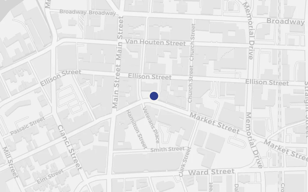
Map of Oscar's Paterson, New Jersey today
Santo Domingo today

The overweight, comics-and-genre-obsessed teenager at the centre of the book grows up in the Dominican diaspora of Paterson, a working New Jersey city with a large island community. It is the northern pole of a story that keeps pulling south, back toward the family's Dominican past.

Opening section, GhettoNerd at the End of the World

explicitDíaz names Paterson as the family's American home; the novel gives no single address, so this marks the city centre. Flagged as outside the setting because the book is anchored on Santo Domingo.
Open in Google Maps ↗Street View ↗

Santo Domingo20% in
Oscar de León

The Zona Colonial

Santo Domingo

Map of The Zona Colonial today
Santo Domingo today

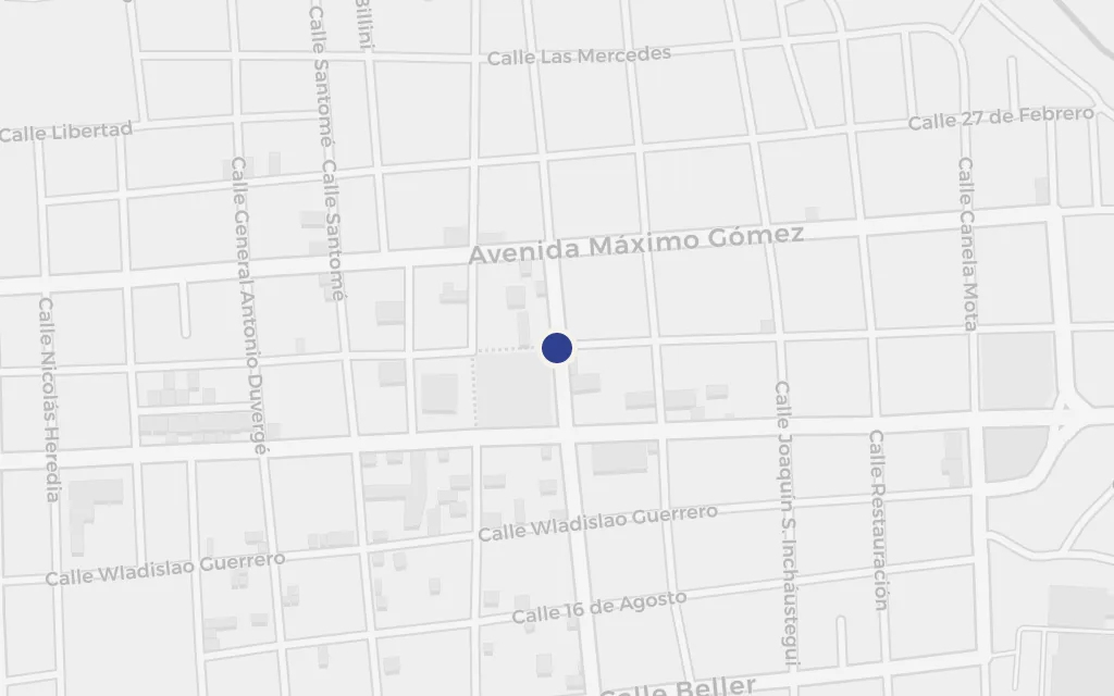
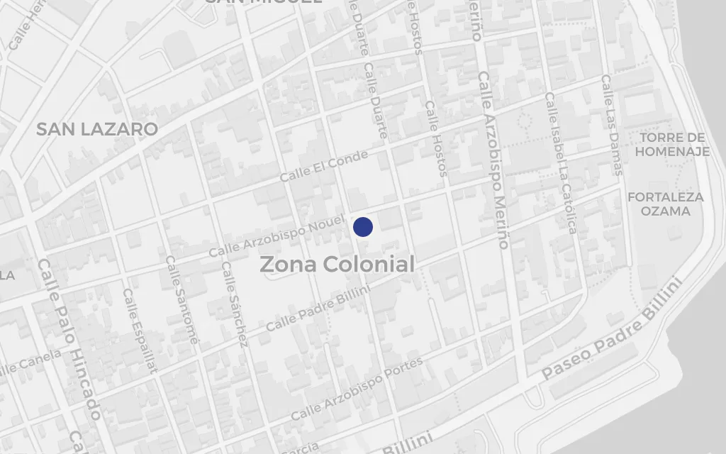
When the family returns to the capital, the oldest streets of the Americas frame the summers: the walled colonial quarter of Santo Domingo, the first European city in the New World, with its cathedral, forts and grid laid down in the early sixteenth century. It grounds the island half of the story in a place that predates everything the dictatorship built on top of it.

The Santo Domingo chapters

explicitThe colonial old town of Santo Domingo is a named, real district; this marks its centre.

Open in Google Maps ↗Street View ↗

Oscar de León

The Malecón

Santo Domingo

Map of The Malecón today
Santo Domingo today

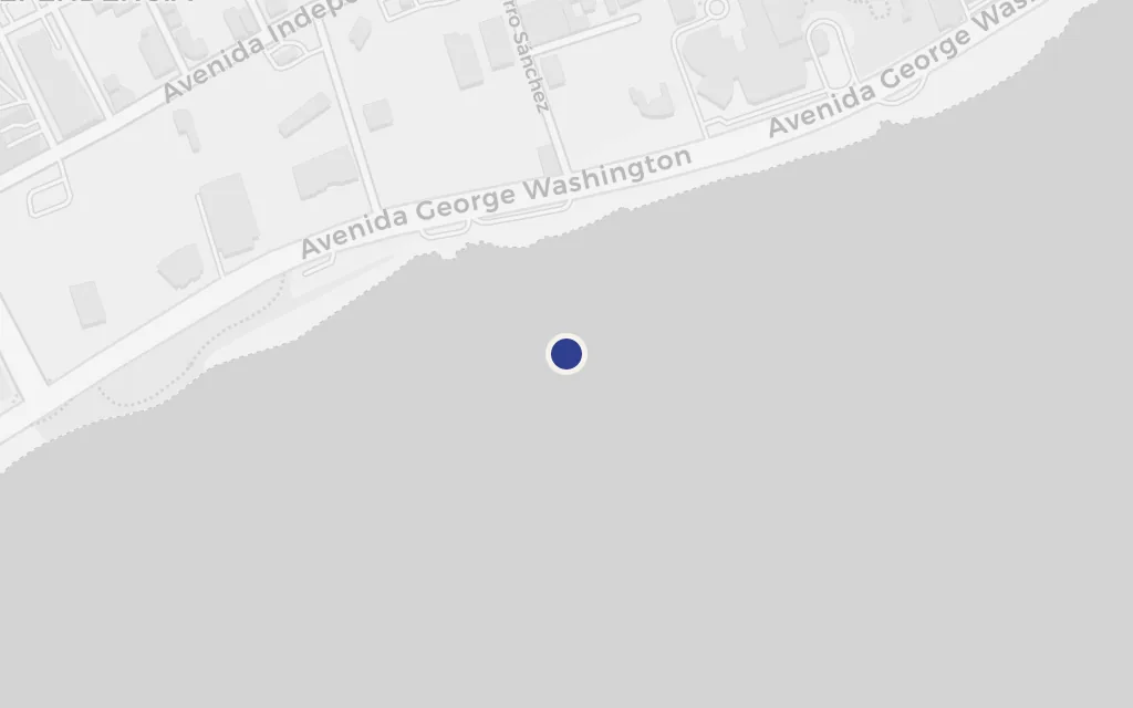
The city's long ocean drive, the Malecón, is where the capital comes out to walk, drink and be seen after dark. Along Avenida George Washington the sea keeps company with the traffic, and the tall Trujillo-era obelisk stands as a reminder of the regime whose reach shapes the whole family's story.

The Santo Domingo chapters

explicitThe Malecón, the Avenida George Washington seafront, is named and real; this marks a representative point along it, at the landmark obelisk.

Open in Google Maps ↗Street View ↗

The de León house60% in
Oscar de León

The family's house in the capital

The de León house

Map of The family's house in the capital today
Santo Domingo today

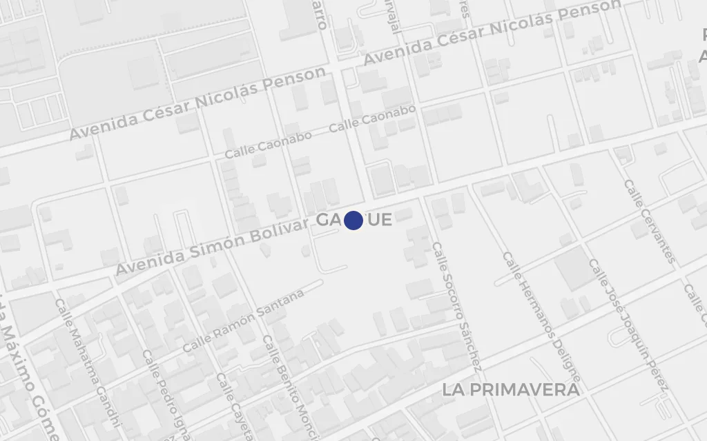
Back on the island the family has a house in the capital, the base for the summers and the place where the older generation's memory lives. We place it in Gazcue, one of the city's oldest residential districts, as a stand-in for the unnamed home rather than a claim to a specific address.

The Santo Domingo chapters

inferredThe novel does not give the house a street or number. This marks Gazcue, a long-established residential quarter between the colonial zone and the Malecón, as a representative middle-class Santo Domingo neighbourhood of the kind the family keeps.

Open in Google Maps ↗Street View ↗

The curse80% in
Oscar de León

The cane field outside the capital

The curse

Map of The cane field outside the capital today
Santo Domingo today

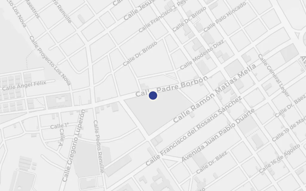
One of the book's most brutal scenes plays out in the sugar cane beyond the city, where a young woman is driven out and beaten among the stalks. The cane fields stand for the reach of the dictatorship and the curse the family cannot outrun. We site it in the old sugar districts west of Santo Domingo, around Nigua, as a representative landscape, since the novel keeps the exact place unnamed.

Wildwood / the Belicia chapters

inspired byThe cane field where the family curse turns violent is described but not located. This marks the historic sugar country around Nigua, west of the capital, as a representative cane landscape rather than an identified spot.

Open in Google Maps ↗Street View ↗

Family origins100% in
Oscar de León

Baní

Family origins

Map of Baní today
Santo Domingo today

West of the capital, Baní is where the family line reaches back into the years of the dictatorship, the province that ties the de León and Cabral story to a specific corner of the country. It sits in a dry coastal valley about a hundred kilometres from Santo Domingo, at the far edge of the map's island half.

The Cabral / Belicia family history

explicitBaní is a named, real town in Peravia Province; this marks the town centre.

Open in Google Maps ↗Street View ↗