The Birmingham of The Hobbit

Middle-earth is invented, so this map holds only the real places Tolkien drew on: the Birmingham water mill behind Bag End and Hobbiton, the West Midlands hills and river country of his boyhood, and, far off the map, the Swiss valley and high Alps that fed Rivendell and the Misty Mountains after his 1911 walking tour.

Author
J. R. R. Tolkien, 1937
Places
5

Open the interactive map →

Bag End0% in
Bilbo Baggins

Sarehole Mill, Birmingham

Bag End
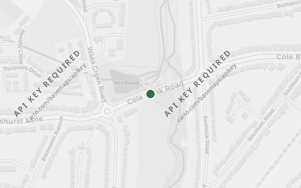
Map of Sarehole Mill, Birmingham today
Birmingham today

Bag End is Bilbo's snug hobbit-hole, the comfortable home he is reluctant to leave and spends the whole book aching to see again. Tolkien traced Hobbiton and its countryside to the mill and lanes he knew as a small boy at Sarehole, before Birmingham spread over the fields. The mill survives as a museum on the River Cole.

Chapter 1, 'An Unexpected Party'

inspired byThis is a real place that inspired the invented setting, not a location in the book. Tolkien lived beside Sarehole Mill in Hall Green as a boy and named this rural corner as the model for Hobbiton and the world of Bag End.
Open in Google Maps ↗Street View ↗

The hill country25% in
Bilbo Baggins

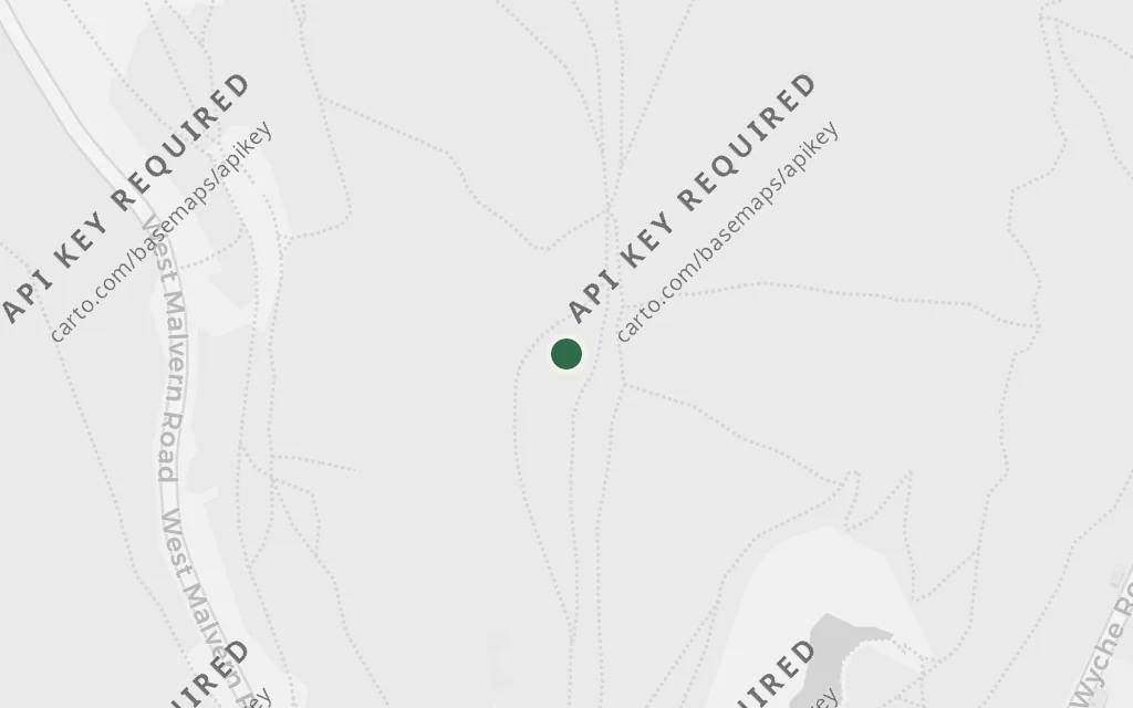
The Malvern Hills, Worcestershire

The hill country

Map of The Malvern Hills, Worcestershire today
Birmingham today

Before the mountains and the dragon, the journey is a walk out through ordinary green hill country, the world beyond Bilbo's door growing wilder by degrees. Tolkien's feel for that English landscape came from the Worcestershire hills he lived among, the Malverns rising over the lowland. It is real ground standing in for the invented road.

Chapter 2, 'Roast Mutton'

inspired byThis is a real place that inspired the invented setting, not a location in the book. The West Midlands landscape Tolkien lived in, including the sharp Malvern ridge, is widely cited as feeding the rolling, hilly country the company crosses on the early stages of the road east.

Open in Google Maps ↗Street View ↗

Rivendell50% in
Gandalf

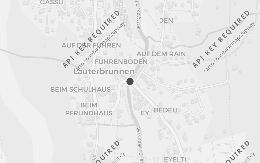
Lauterbrunnen, Switzerland

Rivendell

Map of Lauterbrunnen, Switzerland today
Birmingham today

Rivendell is the elven refuge where the travellers pause, are fed and advised, and read the moon-letters that set their course. Tolkien's picture of the deep, sheltered valley came from the glacial trough of Lauterbrunnen, remembered from his youth. It is a real Swiss valley behind the hidden house.

Chapter 3, 'A Short Rest'

inspired byThis is a real place that inspired the invented setting, not a location in the book. It lies far outside the English anchor and is flagged as an excursion. Tolkien walked the Lauterbrunnen valley on his 1911 alpine tour and later linked its cliff-walled trough to Rivendell, the Last Homely House.

Open in Google Maps ↗Street View ↗

The Misty Mountains75% in
Thorin Oakenshield

The Jungfrau and Swiss Alps near Interlaken

The Misty Mountains

Map of The Jungfrau and Swiss Alps near Interlaken today
Birmingham today

The Misty Mountains are the great snow-topped range the company must cross, driven by thunder-battles and goblins into the tunnels beneath, where Bilbo will meet Gollum. Tolkien pointed to the high Alps he tramped through as a young man, above Interlaken and under the Jungfrau, as the range he had seen. They are the real peaks behind the invented barrier.

Chapter 4, 'Over Hill and Under Hill'

inspired byThis is a real place that inspired the invented setting, not a location in the book. It lies far outside the English anchor and is flagged as an excursion. Tolkien's 1911 walking tour in the Bernese Oberland above Interlaken, in sight of the Jungfrau, is the documented source he drew on for the high, snow-bound Misty Mountains.

Open in Google Maps ↗Street View ↗

The running river100% in
Thorin Oakenshield

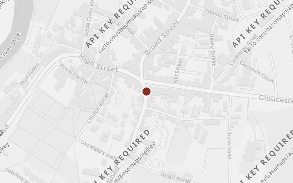
The River Wye, near Ross-on-Wye

The running river

Map of The River Wye, near Ross-on-Wye today
Birmingham today

The later journey runs along a great river, down which Bilbo floats the barrelled dwarves toward Lake-town under the Lonely Mountain. Tolkien's feel for wooded, winding river country came from the borderland rivers of his own ground, the Wye among them. A real reach of that river stands here for the invented water road east.

Chapter 9, 'Barrels Out of Bond'

inspired byThis is a real place that inspired the invented setting, not a location in the book. The winding river country of the English-Welsh borders that Tolkien knew is used here to stand for the running-river landscape approaching the Lonely Mountain; the exact scenes are invented, so a representative Midlands river reach is pinned.

Open in Google Maps ↗Street View ↗