The Sydney of The Secret River

A Thames waterman, transported for theft, lands in the raw penal colony at Sydney Cove and then takes up land sixty kilometres north on the Hawkesbury River. The map runs from The Rocks up to Wisemans Ferry and the reaches of the lower Hawkesbury, called Dyarubbin by the Darug people whose country the settlers were seizing. The frontier violence in the book is drawn from the documented history of these reaches.

Author
Kate Grenville, 2005
Places
5

Open the interactive map →

Part 10% in
William Thornhill

Sydney Cove

Part 1

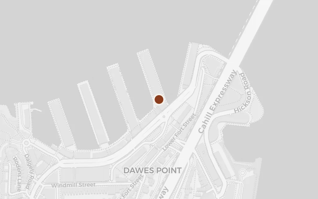
Map of Sydney Cove today
Sydney today

The waterman and his family reach the far side of the world as convicts, rowed ashore at the small cove where the penal colony began. After a life on the Thames, he faces a strange harbour, unfamiliar light and the prospect of earning a pardon at the edge of the known world.

Part 1, the arrival in New South Wales

explicitThe novel names Sydney Cove as the place of arrival; this marks the head of the cove, the landing point of the early colony.
Open in Google Maps ↗Street View ↗

William Thornhill

The Rocks

Part 1

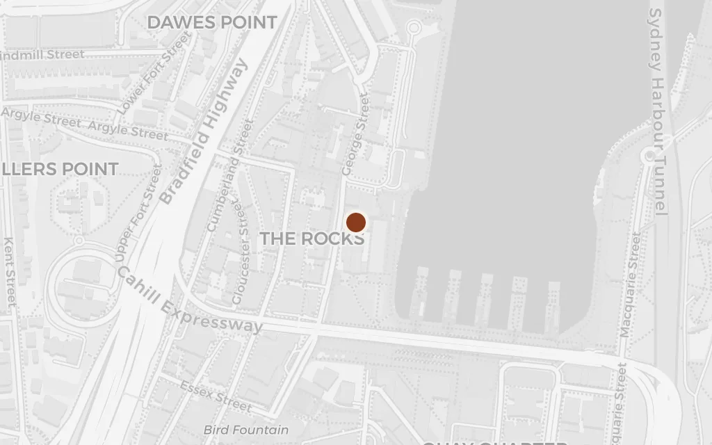
Map of The Rocks today
Sydney today

On the rocky western shore of the cove, the family scrapes a living carrying cargo on the harbour while he works toward his freedom. This crowded, muddy quarter of the young town, built on land the Cadigal called Tallawoladah, is where he first dreams of holding ground of his own.

Part 1, the years in the colony

explicitThe Rocks, on the western side of Sydney Cove, is named as the quarter where the family lives and works; sited at the centre of the historic precinct.

Open in Google Maps ↗Street View ↗

Part 250% in
William Thornhill

The lower Hawkesbury River

Part 2

Map of The lower Hawkesbury River today
Sydney today

Freed and hired to carry goods upriver, he first travels the great river north of Sydney and sees the country he means to claim. To the settlers it is empty land for the taking; to the Darug it is Dyarubbin, lived-in country, and that gap in seeing drives everything that follows.

Part 2, working the river

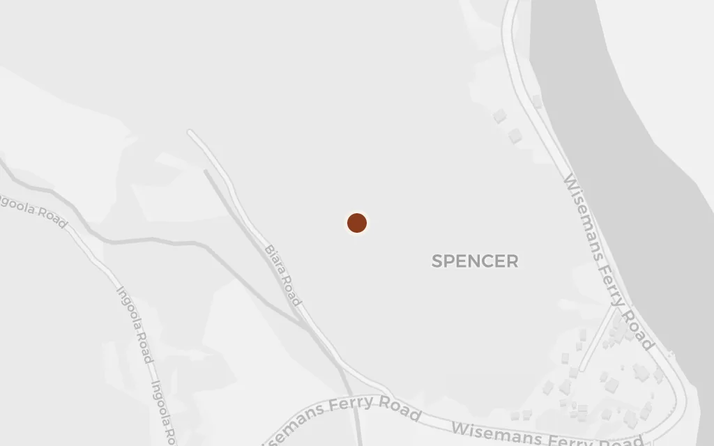
explicitThe Hawkesbury is named throughout, but no single reach is fixed for the first sight of the river; this marks a representative point on the lower river at Spencer, where Dyarubbin winds through steep bush.

Open in Google Maps ↗Street View ↗

Part 375% in
William Thornhill

Wisemans Ferry

Part 3

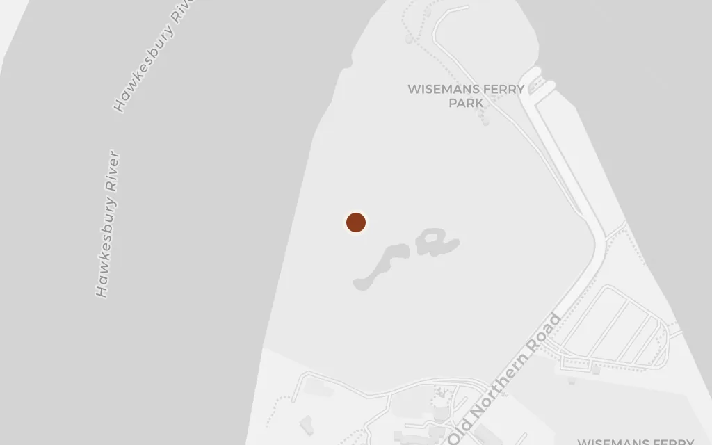
Map of Wisemans Ferry today
Sydney today

This bend of the Hawkesbury, later named for Solomon Wiseman, is the real ground behind the book. Wiseman was a Thames waterman transported in 1806, and Grenville, his descendant, built her convict settler on the outline of his life while inventing the man and his choices.

Part 3, the settlement on the Hawkesbury

explicitWisemans Ferry is a real crossing on the Hawkesbury, named for Solomon Wiseman, the transported waterman whose life Grenville drew on; sited at the village and river crossing.

Open in Google Maps ↗Street View ↗

Part 4100% in
William Thornhill

Thornhill's Point

Part 4

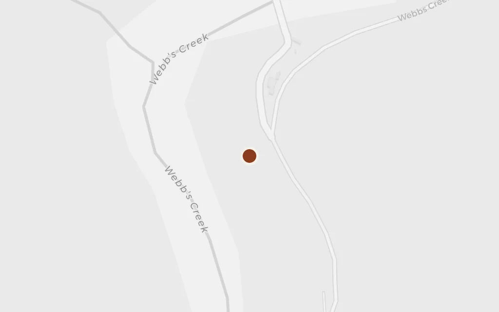
Map of Thornhill's Point today
Sydney today

The settler stakes out a point of land on the river and gives it his own name, over the top of the people already living there. What begins as fencing and clearing hardens into a massacre of the Darug, told plainly in the book and grounded in the documented frontier violence of the Hawkesbury. The prosperity that follows is built on that ground and never lets him rest.

Part 4, the taking of the land

inspired byThornhill's Point is invented: in the book he seizes a stretch of river the Darug use and renames Darkey's Creek after himself. It is modelled on Wiseman's Hawkesbury grant, so this marks a representative bend of the lower river near Wisemans Ferry.

Open in Google Maps ↗Street View ↗