A century of one Wapishana family plays out across the Rupununi, the vast grass plain of southern Guyana between the Kanuku Mountains and the Brazilian border. Ranches and a Jesuit mission sit among the savannah settlements around Lethem, while a modern thread carries a son of the family north to the coastal capital, Georgetown, some four hundred kilometres away.
The grass plain of southern Guyana is the ground the whole book stands on. Across a hundred years the family's story keeps returning to this expanse of savannah, its cattle trails, its scattered settlements and its seasons of flood and burning drought.
Prologue and throughout
explicitThe novel names the Rupununi repeatedly as the family's country; this point marks the open savannah plain of the region's south.
A Jesuit priest arrives to convert the savannah people and presses hard against their own beliefs, a collision that shapes the family for a generation. The real mission behind the scene is St Ignatius, set up by a Catholic priest among the Wapishana and Macushi in the early twentieth century, just south of present-day Lethem.
The historical strand
inferredThe book's Jesuit mission to the savannah is not named; St Ignatius, the real Rupununi mission founded in 1909 near Lethem, is the place it draws on, so this marks that village.
The forested range that lifts out of the flat grassland frames the older story, the one of a brother and sister who withdraw to live apart from the settlements around them. The Kanuku Mountains run across the Rupununi and hold some of the richest wildlife in Guyana.
The historical strand
explicitThe Kanukus are named in the novel as the range rising from the family's savannah; this marks the mountains east of Lethem.
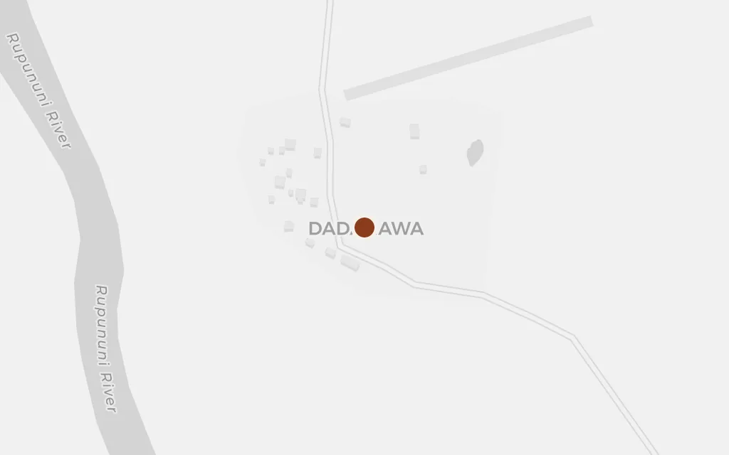
The founding marriage of a Scottish settler into a savannah family, and the sprawling household of children that follows, belongs to a remote ranch on the open plain. The southern Rupununi's best-known ranch, Dadanawa on the Rupununi River, gives a sense of the scale and isolation of such a place.
The historical strand
inferredThe family's savannah ranch is not tied to a named property; Dadanawa, the great isolated cattle ranch of the southern Rupununi, stands in as the representative point for that kind of homestead.
The frontier town on the Brazilian border is the hinge between the savannah and everywhere else, the place a traveller passes through leaving the Rupununi behind. Lethem is the administrative centre of southern Guyana, set on the Takutu River across from Brazil.
The modern strand
explicitLethem, the border town and regional capital of the Rupununi, is named as the savannah's link to the wider country.
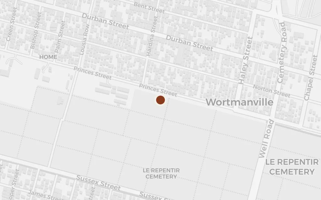
The present-day thread carries a young man of the family off the savannah and up to the coast, where a job, a love affair and the noise of the capital pull against the quiet of home. Georgetown is Guyana's seat of government on the Atlantic shore, a world away from the Rupununi.
The modern strand
explicitGeorgetown, the coastal capital, is named as the city the modern strand reaches, roughly four hundred kilometres north of the savannah.