The Berd of Three Apples Fell from the Sky

A remote mountain village called Maran, clinging to a high ridge in the Armenian highlands, where a few dozen elderly villagers outlive famine, earthquake and war and a late love still finds room to grow. Maran is invented, but it is drawn from the author's own home town of Berd in the Tavush region of north-eastern Armenia, so the map anchors the story in the real Tavush highlands rather than a fictional coordinate.

Author
Narine Abgaryan, 2015
Places
5

Open the interactive map →

The village0% in
Anatolia

Maran, the mountain village

The village
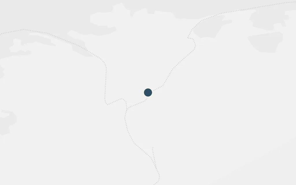
Map of Maran, the mountain village today
Berd today

The whole novel unfolds in Maran, a shrinking village on a mountain ridge cut off from the world below, where a handful of old people keep going after their children have left and disaster after disaster has thinned the population. The village is invented, but the author places its spirit firmly in the Tavush highlands she grew up in.

Throughout

inspired byMaran is a fictional village and has no real coordinate. Abgaryan has said it is drawn from her home town of Berd, so we site it on the high ground just above Berd, where such a ridge settlement would sit.

Open in Google Maps ↗Street View ↗

The town25% in
Anatolia

Berd, the author's home town

The town

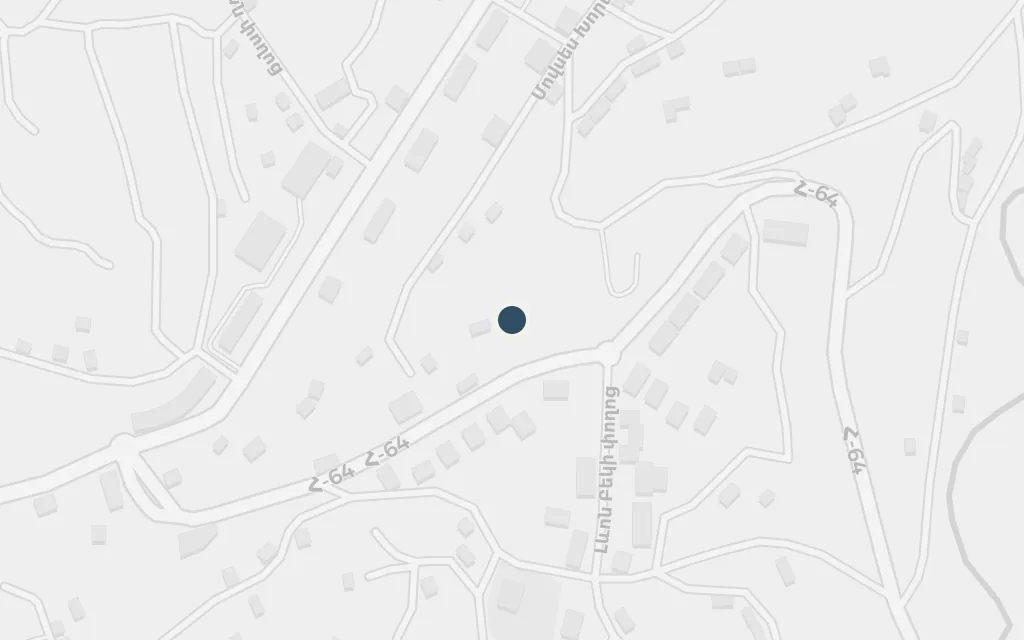
Map of Berd, the author's home town today
Berd today

Berd is the real town in the Tavush region where Abgaryan was born and raised, west of the Tavush River and ringed by low mountains about two hundred kilometres from Yerevan. Its remoteness, its emptying streets and its highland weather all feed the imagined village of Maran.

Throughout

inspired byBerd is a real town and the acknowledged source for the fictional Maran. The novel does not name it, but Abgaryan repeatedly points to Berd as the place her village is built from.

Open in Google Maps ↗Street View ↗

The region50% in
Anatolia

The Tavush highlands

The region

Map of The Tavush highlands today
Berd today

The book's world is the forested, folded mountain country of north-eastern Armenia, where villages perch on ridges reached by a single road and winters cut them off for weeks. This is the real Tavush landscape whose isolation shapes every story in the novel.

Throughout

inferredThe fictional Maran sits in mountains like these. This marks a representative point in the Tavush highlands south-west of Berd, the wider landscape the novel is set among; it does not fix an exact scene.

Open in Google Maps ↗Street View ↗

The valley75% in
Anatolia

Ijevan, the road to the valley

The valley

Map of Ijevan, the road to the valley today
Berd today

Ijevan is the real provincial capital of Tavush, down in the river valley and connected to the outside world in a way the ridge villages are not. It stands for the lowland towns the people of Maran must travel to for whatever the mountain cannot supply.

Throughout

inferredNot named in the novel. Ijevan is the administrative centre of Tavush and the nearest larger town on the valley floor, standing here for the world below the mountain that the villagers rarely reach.

Open in Google Maps ↗Street View ↗

The frontier100% in
Anatolia

Chinari, a village on the frontier

The frontier

Map of Chinari, a village on the frontier today
Berd today

The novel's grief is partly the grief of the border: sons and neighbours lost to war, houses emptied by fighting. Chinari, a real village of the Berd district hard against the Armenia-Azerbaijan line, shows how close the frontier runs to the highland communities the book imagines.

Throughout

inferredNot named in the novel. Chinari is a real border village of the Berd district; it marks the frontier edge of the same highlands, where the wars that haunt Maran left their mark.

Open in Google Maps ↗Street View ↗